Land is among a country’s most valuable assets, yet it is often difficult to manage effectively. Ownership records are frequently kept on paper or in fragmented, disconnected legacy systems. For example, cadastral data may not be integrated with land allocation or registration systems. As a result, the value embedded in each parcel remains largely inaccessible. For nearly three decades, Sivan Design has helped governments transform land from an administrative burden into a managed national asset.

ZILMIS – Zambia Integrated Land Management Information System, launched by Hon. Simusa, Zambia, June 2014
Founded in 1999 and headquartered in Israel, Sivan Design is a global provider of geospatial solutions for national assets. The company implements large-scale systems for land and property administration, roads and underground infrastructure, serving national and state governments, municipalities and private enterprises. With more than 30 national land projects delivered across four continents, Sivan Design is among the most experienced companies in its field worldwide.
GeoERP and Global Projects
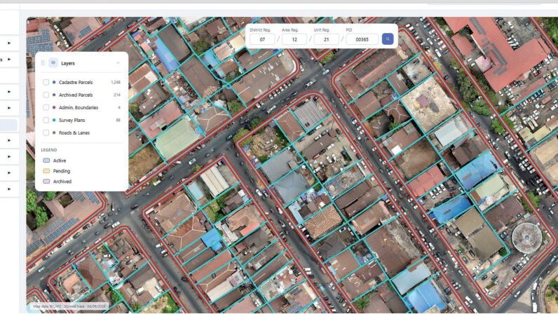
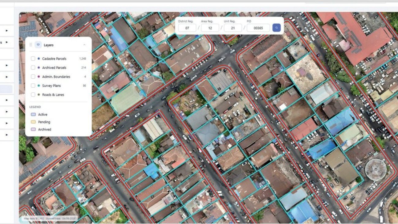
LMIS (Sierra Leone) map screen – 2026
Photos: courtesy of Sivan Design
At the core of Sivan Design’s offering is GeoERP, an integrated platform combining Geographic Information System (GIS) technology with administrative, business, registration, and financial processes. GeoERP connects each parcel to its owner, title, survey plan, transactions, and payment history, bringing spatial and business information together in one environment.
These capabilities are demonstrated in projects worldwide. In Nigeria, the Anambra State Geographic Information System (ANAMGIS) was commissioned in February 2025 by Governor Chukwuma Soludo, to automate land administration while strengthening revenue generation and security of tenure. In Sierra Leone, with World Bank support, Sivan Design is delivering the national Land Management Information System, creating a digital platform for state, private, and customary land and replacing fragmented and paper-based processes across hundreds of thousands of parcels. In Zanzibar, Tanzania, the World Bank-funded National Spatial Data Infrastructure went live in 2025, providing government agencies with a shared platform for reliable geographic information.
Alongside these national systems, Sivan Design develops CivilCAD, a professional software suite for road design, water engineering, surveying, and land development, used by more than 10,000 professionals worldwide.
Unlocking Economic Potential
The impact is both economic and technical. Reliable land records enable governments to increase revenue, support bank lending through secured collateral, and reduce disputes that slow investment. As Sivan Design describes it, land titling helps unlock the dead capital embedded in land. Each deployment includes data migration and extensive capacity building, enabling local teams to operate the platform independently and deliver land services efficiently, effectively and equitably for citizens and the authorities.

For more information:
www.sivandesign.com ● sales@sivandesign.com